By Manik Kumar Saha

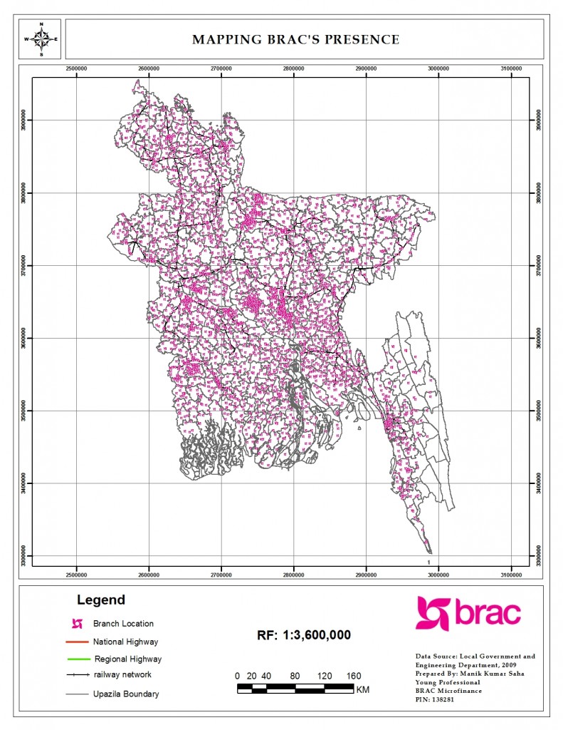
Ian Smilie said in Freedom from Want, we are “information rich, knowledge poor. In Bangladesh, BRAC’s activities take place in approximately 4,300 fixed structures around the country. This number does not include all the community-based activities that do not require buildings. BRAC collects an enormous amount of programmatic, research, and monitoring data, but cannot incorporate it systematically into decision-making across the organization. Most data collection and analysis are labour intensive, requiring significant time from staff for collection, consolidation, and analysis. To date, there is no comprehensive resource that can be centrally accessed to inform decision making, promote coordination, and enable efficient planning on a geographical basis. To meet this growing demand for using geographical information as a means of decision making BRAC undertook the project, “Mapping BRAC’s Presence” for all existing BRAC structures that will yield: a.) an interactive visualization platform, b.) location identifiers in a uniform code (allowing easy integration with other information systems at BRAC), and c.) an easily accessible format (potentially web based) for internal use.

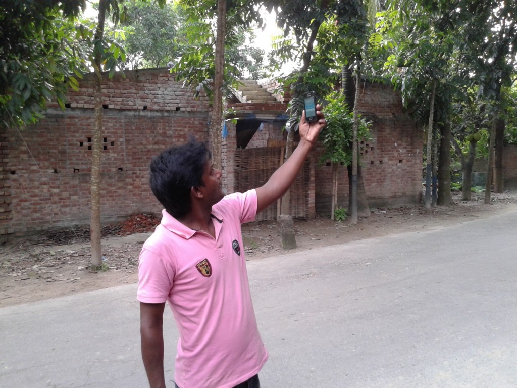
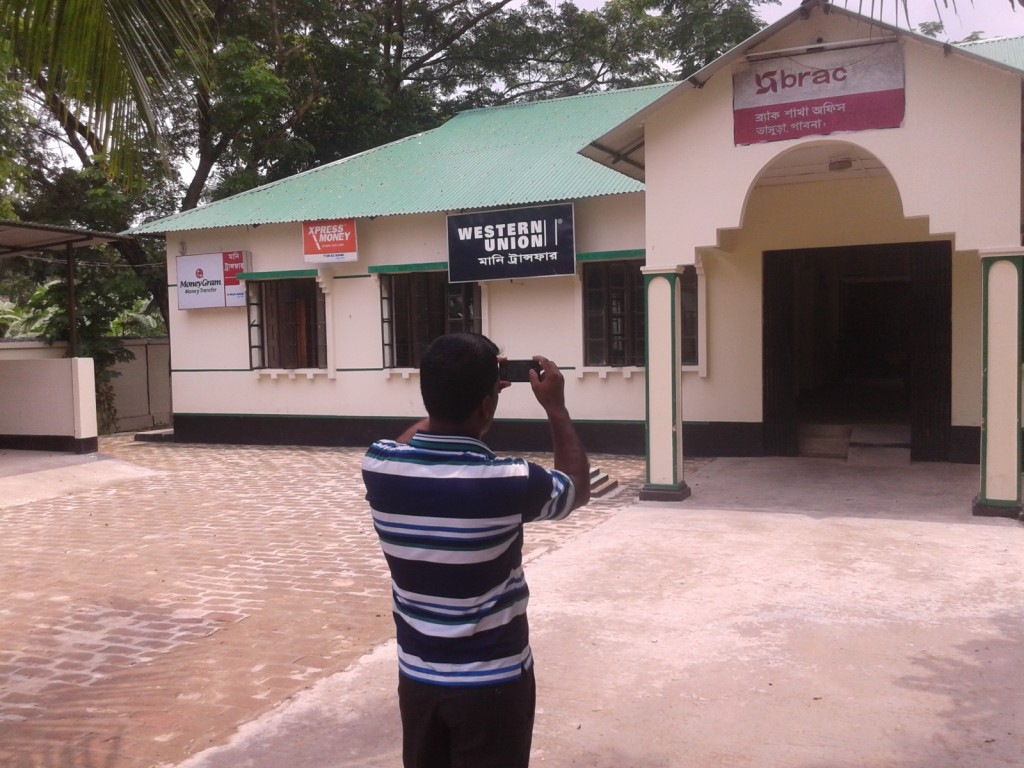
Through this project BRAC is collecting the geographical coordinates and four photographs of every establishment as well as updating the address details.. On top of that BRAC is now following the unique ID so that every programme can use this code to keep their management information system uniform. Eventually this unique ID will facilitate the development of a central data warehouse and programme personnel can extract information as per their need much more quickly and easily. The system will be interoperable sothat the information system of different programmes can talk to each other through the unique IDs. It will also enable more efficient and quicker decision making in terms of financial and other development programme interventions. (For an example of a similar mapping project that highlights the poor’s ability to access financial services check out www.fspmaps.com).
Through this “Mapping BRAC’s Project” we are expecting to have the following impact on programme’s implementation:
- Visualize the distribution of individual or multiple programme service locations at a glance through customized map preparation
- Ensure equal geographical distribution of existing service delivery points before opening a new one or closing an existing to avoid redundancies
- Enable better coordination across programmes through increased ease of data sharing and aggregating across units and programmes
- Decrease time to prepare new proposals
- Decrease the workload for audit, monitoring and accounts to maintain a database of all locations
However, dealing with this geographical dimension of information management is very new at BRAC and we couldn’t do it alone. Hence, Institute of Water Modelling provided technical support to collect all of BRAC’s geographical coordinates and pictures through quality assurance.
However, preparation for data collection, collecting the data and ensuring the quality was a great challenge faced both by BRAC and the Institute of Water Modelling. We faced the following challenges:
- Making a unique list of all establishments with the unique ID.
- Finding the local address and landmark of 4300 establishments
- As the establishments are distributed across Bangladesh it was really hard to complete the data collection within the given time frame and resources. Local level BRAC staff providing transport facilities to data enumerators was a big help
- Due to the slow internet connection in rural areas it was very difficult to send the data instantly to the server. This made real time monitoring very difficult

After almost two years of discussions at the head office, and three months of intensive data collection in the field, the interactive map will soon be released on the BRAC web site.
Manik Kumar Saha is a Young Professional with the BRAC Microfinance Research and Development Unit.